Hastière · 200 m
Escape room in Hastière.
Directions
Hastière · 400 m
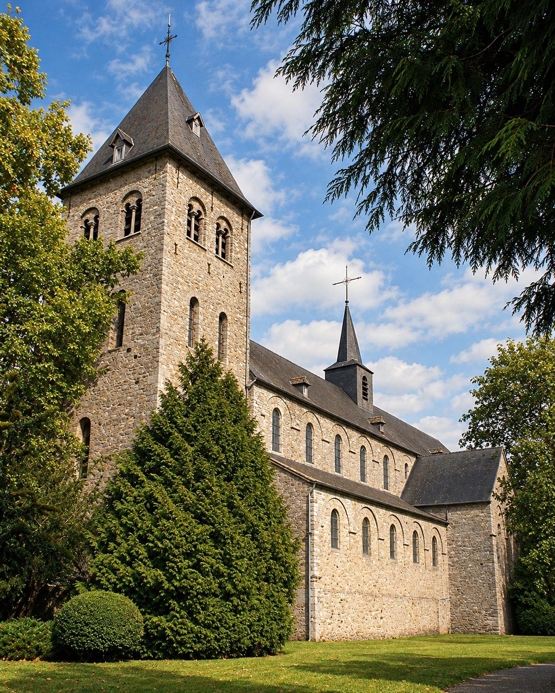
Romanesque former abbey church on the Meuse, one of the oldest religious buildings in the valley.
Directions
Hastière · 500 m
Directions
Hastière · 600 m
Directions
Hastière · 700 m
Directions
Hastière · 900 m
Directions
Hastière · 900 m
Directions
2 km
Picnic and barbecue spot by the water.
Directions
Hastière · 2.5 km
Small waterfalls on the Grand Étang stream, on a waymarked loop of about 11.5 km from Hastière.
Directions visorando.com
Waulsort · 2.6 km
Directions
2.6 km
Organic livestock farm.
Directions
Waulsort · 2.7 km
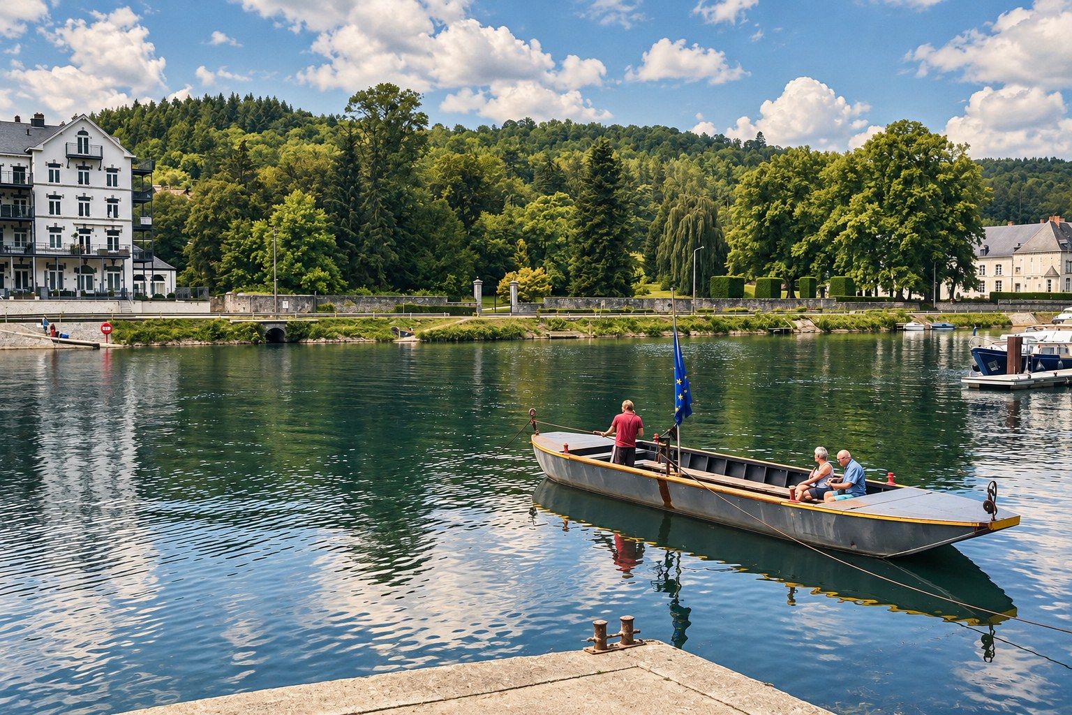
The little ferry across the Meuse at Waulsort, a classic of the valley.
Directions
3 km
Directions
Onhaye · 3.3 km
Directions
3.8 km
Directions
4.2 km
Directions
Hastière · 4.2 km
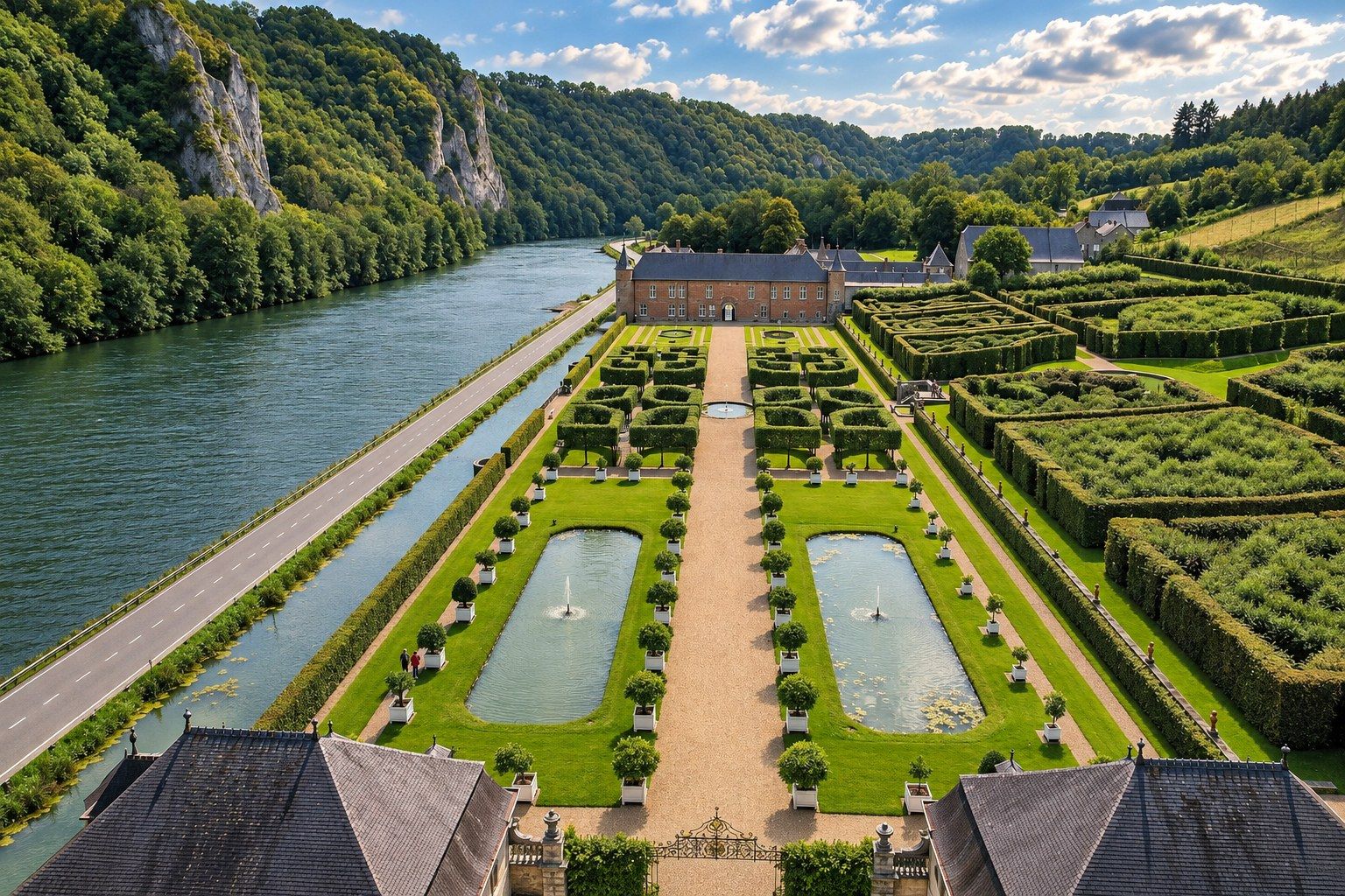
Renaissance château with formal French gardens on the Meuse, facing the climbing rocks.
Directions
4.3 km
Directions
Dinant · 4.6 km
Directions
Agimont · 6.3 km
Directions
Dinant · 6.5 km
Castle perched on a rock above the river Lesse, best seen from the water or the trails.
Directions
Anseremme · 7.4 km
Kayaking on the Lesse, adventure courses and outdoor activities.
Directions
Dinant · 7.4 km
Directions
Dinant · 7.5 km
Directions
Dinant · 7.6 km
Shows, concerts and exhibitions all year round.
Directions
Dinant · 7.7 km
Directions
Dinant · 7.7 km
Viewpoint over Dinant and the Meuse.
Directions
Dinant · 7.7 km
The Gothic church with its landmark onion dome, at the foot of the citadel.
Directions
Dinant · 7.8 km
Fortress high above Dinant, reached by cable car or a long stairway, with views over the valley.
Directions
Givet (FR) · 8.5 km · Temporarily closed
Directions
Givet (FR) · 8.8 km
Children's play trail at the foot of the fort.
Directions
Furfooz · 8.9 km
Nature and archaeological park on a limestone plateau above the Lesse: caves, viewpoints and remains.
Directions
Givet (FR) · 8.9 km
Fortifications on the heights above Givet, with views over the Meuse.
Directions
Onhaye · 8.9 km
Ruins of a fortified castle on a rocky spur in the Molignée valley.
Directions
9.3 km
Butcher's shop.
Directions
Doische · 10 km
Farm meat and charcuterie.
Directions
10 km
Directions
11 km
Directions
Celles · 11 km
Medieval castle with pepper-pot towers, in Celles.
Directions
Denée · 11 km
Neo-Gothic Benedictine abbey known for its beer and cheese, with walks nearby.
Directions
Lustin · 11 km
Wine estate on the Meuse.
Directions
12 km
Artisan biscuit maker.
Directions
Warnant · 12 km
Snail farm.
Directions
13 km
Directions
Bioul · 14 km
Château and wine estate, with tours and tastings.
Directions
Hierges (FR) · 14 km
Castle overlooking the village of Hierges, just across the French border.
Directions
Hierges (FR) · 14 km
Directions
Hierges (FR) · 14 km
Small stone village in the French Ardennes, best explored on foot.
Directions
Beauraing · 14 km
Indoor pool, handy on rainy days.
Directions
Anhée · 15 km
18th-century water gardens, with fountains and cascades fed without pumps.
Directions
Anhée · 15 km
Trout farm.
Directions
Beauraing · 15 km
Directions
16 km
Directions
Florennes · 17 km
Directions
19 km
Directions
20 km
Directions
20 km
Directions
Fosses-la-Ville · 21 km
Forest lake with a lakeside walk and supervised swimming in season.
Directions
Dourbes · 22 km
Ruins of a castle on a promontory above the Eau Noire river, in Dourbes.
Directions
Viroinval · 25 km
Village in the Viroin valley and a starting point for fine walks.
Directions
Gedinne · 27 km
Directions
Han-sur-Lesse · 27 km
Spectacular caves and a wildlife park, a full family day out.
Directions
Namur · 28 km
Directions
Namur · 28 km
Directions
Namur · 28 km
Directions
29 km
Ciders and apple juice.
Directions
Gedinne · 29 km
Highest point of this part of the Ardennes on the Belgian side, with an observation tower.
Directions
Émines · 33 km
Wine estate.
Directions
Fernelmont · 41 km
Farm shop with organic produce.
Directions
Saint-Hubert · 43 km
A walk among the animals of the Ardennes forest.
Directions
45 km
Directions